About Biodiversity in Monmouthshire
Monmouthshire is a rural county with agriculture and forestry shaping the rich biodiversity and the resilience of ecosystems in the landscape. By appreciating and protecting the biodiversity of Monmouthshire, we can ensure the continued existence of its unique ecosystems and the ecological services they provide for both wildlife and humans alike.
Our Wild County
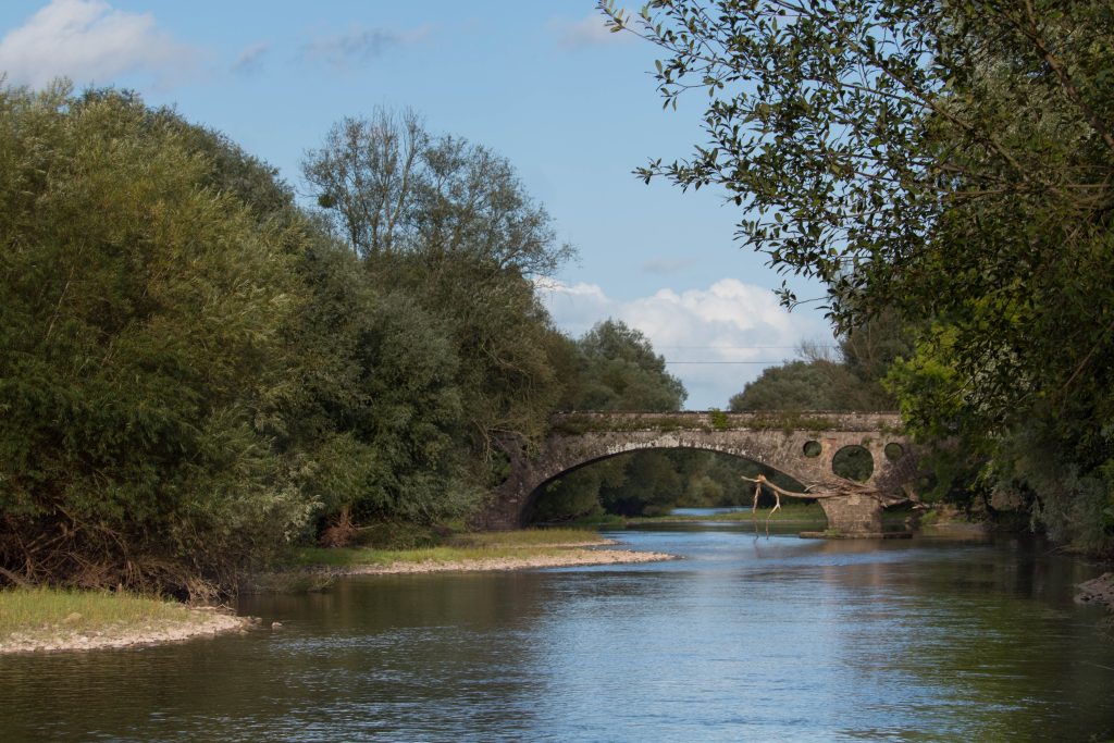
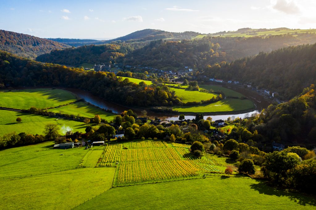
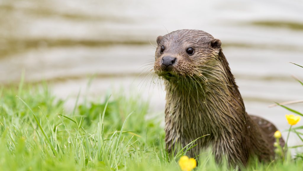
The River Usk and River Wye are designated as Special Areas of Conservation and together with their tributaries provide important wildlife corridors and migratory routes for key species such as otters, shad and white clawed crayfish. These habitats are under threat from water abstraction, pollution and siltation.
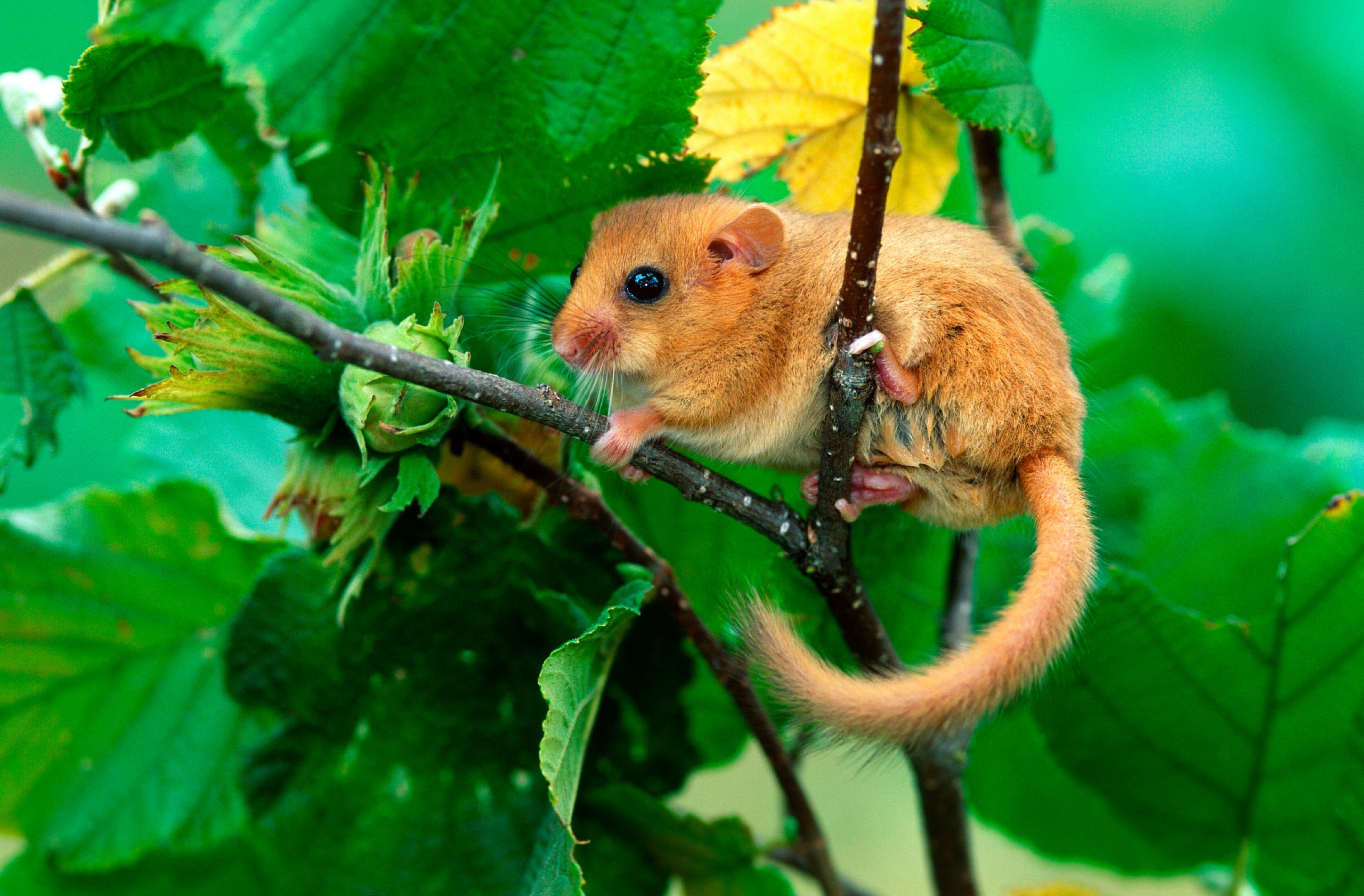
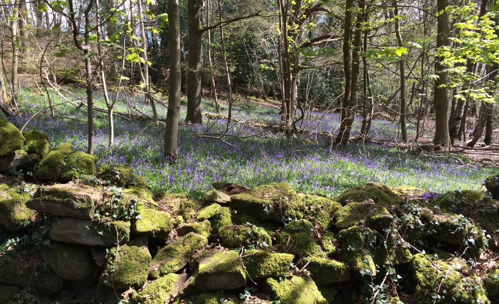
The east of the County is heavily wooded and together with woodland on the English side of the border, forms the Wye Valley Woodlands SAC, part of a large swathe of high quality habitat for woodland species including lesser horseshoe bats and dormouse. The quality of the woodland is predominantly under threat from lack of management and the spread of ash dieback. In areas where agricultural intensification has not depleted quality there are networks of unimproved grassland. Much of it is included in the Local Wildlife Sites network but has no statutory protection. It is vulnerable to poor management and development pressures particularly in villages and on the edge of settlements.
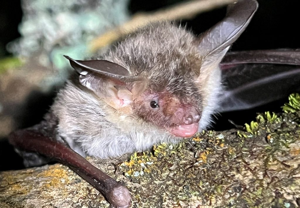
The Wye Valley is also internationally important for bat species including Greater Horseshoe Bats and Lesser Horseshoe Bats with many of their roosts included in the Wye Valley and Forest of Dean Bat Sites SAC. Parts of the Wye Valley are known to be used by at least 15 different species of bats including the rare Barbastelle Bat and Bechstein’s Bat.
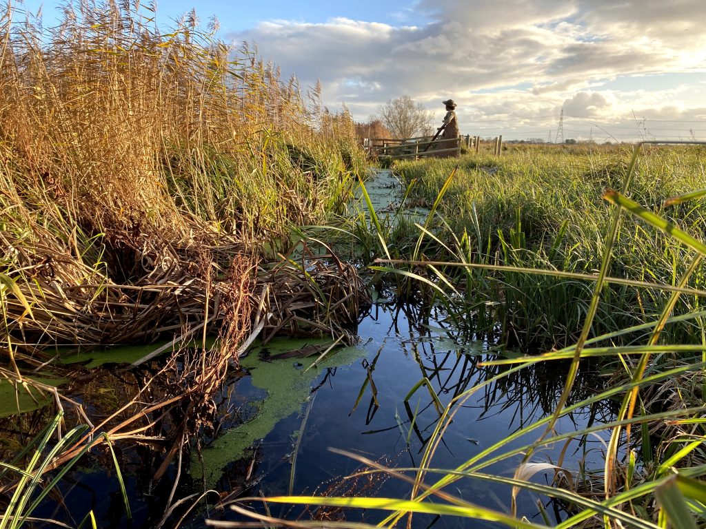
The unique man-made landscape in the south of the County along the Gwent Levels has created a network of reens and coastal and floodplain grazing marsh which are often under threat from unsympathetic development. The Living Levels is a landscape partnership, supported by the National Lottery Heritage Fund, which aims to reconnect people and communities to the Gwent Levels landscape and provide a sustainable future for this historic and unique area.
The marine area of Monmouthshire includes the internationally important Severn Estuary SPA, SAC and Ramsar site which is particularly important for wintering bird species. The estuary is one of the largest in Britain and has the second highest tidal range in the world. We are part of ASERA that works to ensure sustainable management of this natural resource
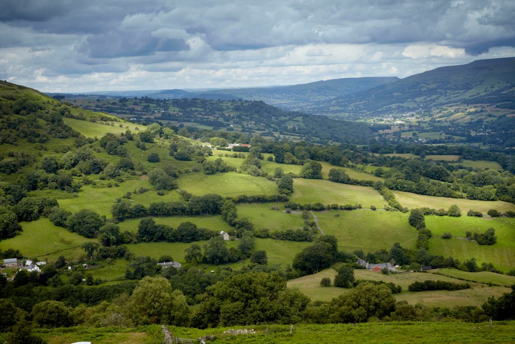
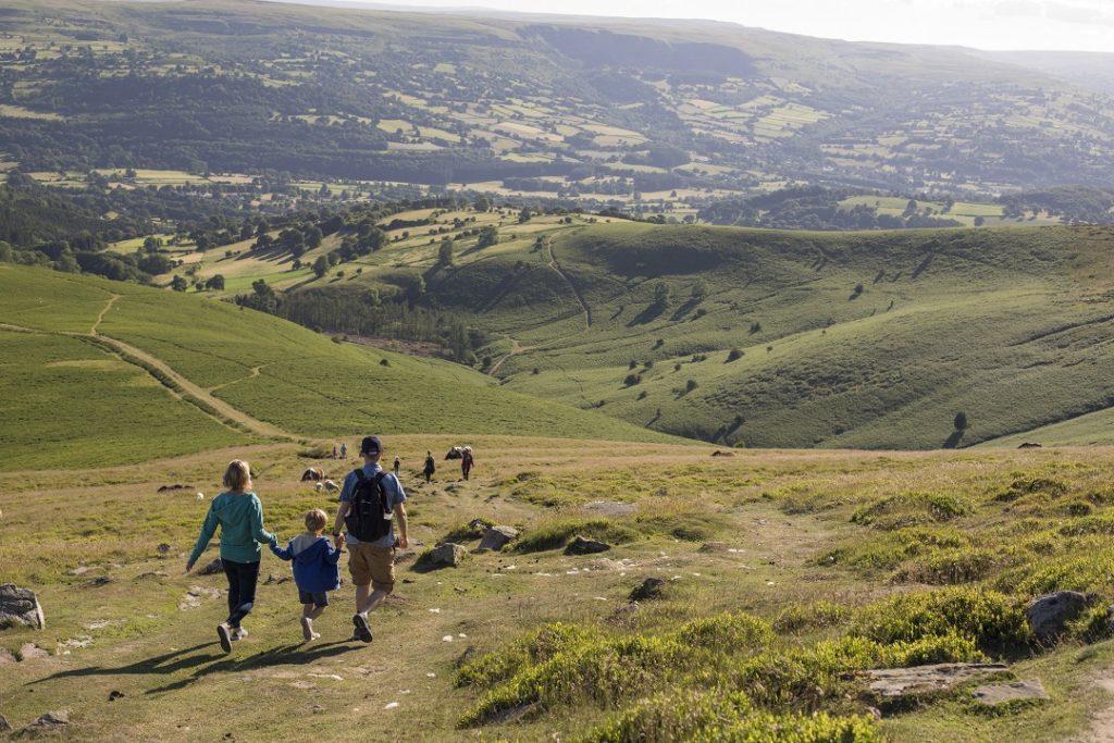
Areas of upland in the Bannau Brycheiniog National Park such as the Black Mountains, the Blorenge and the Gilwern Hill SSSI’s include a mixture of upland habitats including wet heath, blanket bog and limestone grassland. These sites have important populations of rare plants such as endemic whitebeams, hawkweeds, mosses, liverworts and lichens. The National Park Authority have recently published a Nature Recovery Action Plan which sets out the action that they shall deliver to maintain and enhance biodiversity.
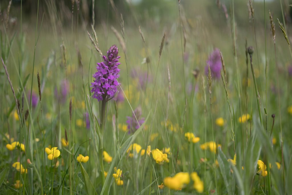
Across the County over 700 sites have been identified for their importance for nature conservation including woodlands, watercourses, orchards, grasslands and areas of previously developed land like quarries and other brownfield sites. These Local Wildlife Sites (LWS) and Sites of Importance for Nature Conservation (SINCs) have been identified by Gwent Wildlife Trust and Monmouthshire County Council to identify priorities for management and conservation. They are not statutory designations but are important in decision making processes such as planning and development management.
If you know of a site that you think could be a LWS or SINC, or you would like advice to manage your land to achieve SINC quality, please get in touch on LocalNature@monmouthshire.gov.uk
Ecosystem Resilience in Monmouthshire
Data on the resilience of ecosystems is currently being developed by Natural Resources Wales as part of the development of Area Statements. NRW Core Management plans indicate that many of our protected sites are in an unfavourable condition, the extent and quality of habitats in the County is largely reducing, some species are increasing e.g. horseshoe bats and otters but most are decreasing e.g. butterflies and farmland birds with overall species diversity decreasing. Diversity is also varied across the County as demonstrated by vascular plant diversity in the Flora of Monmouthshire with the north of the County having lower diversity by comparison to areas such as the Wye Valley where diversity is high.
Natural Resources Wales CURVE Mapping identifies high ecological connectivity in Monmouthshire. However, when presented spatially, there are obvious exceptions to this where the landscape has become degraded as it has been improved for agriculture. The north of the County in the catchment of the River Trothy and farmland around the lower Usk catchment are examples of this.
The ecological connectivity of Monmouthshire settlements has previously been mapped as part of the Ecological Connectivity Assessment. This provides an objective assessment of semi-natural habitat connectivity in and around eight settlements/sub-areas in Monmouthshire and identifies and informs future habitat management and creation opportunities.
This post is also available in: